Research Soaring to New Heights on the Tails of NASA Satellites
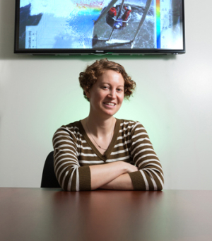
Andrea Albright, a graduate student in the Cullen College of Engineering’s geosensing systems engineering and sciences program, won a 2018 National Defense Science and Engineering Graduate (NDSEG) Fellowship. She is among 69 U.S. fellows chosen from more than 3,600 applicants.
The fellowship, which is the highest honor awarded to graduate students by the Department of Defense, covers full tuition, research expenses and mandatory fees for three years. Fellows receive a monthly stipend of $3,200, up to $1200 annually for health insurance coverage, and up to two trips all expenses paid – based on the government travel policy – per year for training and/or conferences that support their educational initiatives.
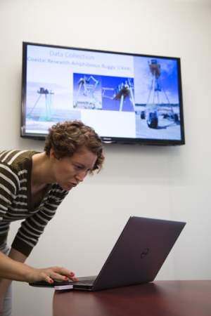
Albright’s Ph.D. work focuses on studying geosensing systems for application to earth science, specializing in using LiDAR – the leading technology of light detection and ranging – to study morphology and wave processes in the nearshore environment.
“What’s really cool about LiDAR data is that you can look at it from many different perspectives. You can literally walk through the information,” she said. “I get to come up with the code to actually process the data instead of relying on commercial software packages designed by someone else. I get to do something no one else has done before.”
Albright will be using the DoD fellowship for her studies and research involving satellite data collected by two separate NASA satellites.
“I really wanted to work with satellite data, especially looking at satellite imagery,” Albright said. “The idea that you could be really far away and still infer important information – in this case, gather information on near shore depths – is pretty amazing.”
She is excited about the September launch of NASA’s ICESat-2, a continuation of a previous satellite mission called ICESat, which will measure the height of Earth’s ice-covered region, as well as the height of other features including trees, shrubs, lakes and more.
“We’re hoping to use the LiDAR satellite to make depth profiles and then put a satellite image on top of that to look at the optical properties of the water and be able to extend that using the satellite imagery,” Albright said. “In theory at least, we should be able to develop algorithms to measure bathymetry – the depths of water in oceans, seas and lakes – all over the world with very few in situ measurements.”
The research project which will measure changes to coastlines – including erosion, build-up of land masses and water depth – could potentially help predict flooding, sinking of land, vulnerability of coastal communities and future development.
“Keep in mind most metropolitan cities are within 50 miles of a coast,” Albright said. “We don’t have a lot of awareness about how the Earth functions so we make our decisions based off of what we think works for us and end up paying a lot of money when our infrastructure crumbles or natural disasters happen.”
“But if you know approximately what the lay of the land is and what processes are underlying that, you should be able to predict infrastructure wear and tear and ultimately lead to better land use practices,” she added.
The geosensing systems engineering and sciences graduate program at the UH Cullen College is the only program of its kind in the world. Administered through the National Center for Airborne Laser Mapping (NCALM) at UH, the program trains the next generation of scientists in the rapidly changing field of geospatial engineering, providing students with hands-on experience using state-of-the-art sensors and remote sensing technologies for a wide variety of Earth science applications.
Begun in 1989, NDSEG has awarded nearly 3,600 fellowships to U.S. citizens and nationals who pursue a doctoral degree in one of 15 supported disciplines at a U.S. institution. The NDSEG Fellowship is sponsored by the Air Force Office of Scientific Research, the Army Research Office, and the Office of Naval Research under the Office of the Assistant Secretary of Defense for Research and Engineering.

