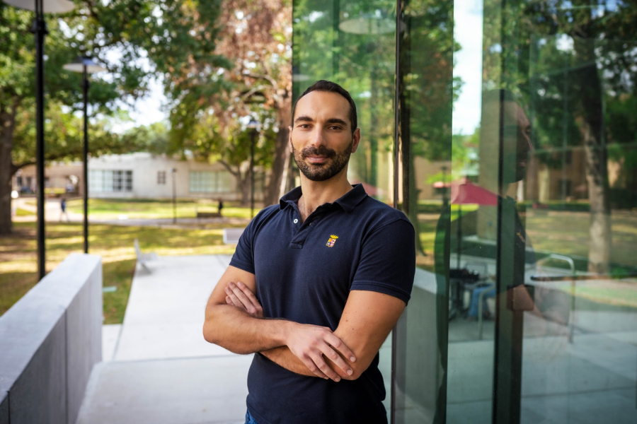
A review article authored by civil and environmental engineering assistant professor Pietro Milillo and postdoctoral fellow Yismaw Wassie, "Interferometric Synthetic Aperture Radar Multitemporal Deformation Monitoring: A review of machine learning techniques,” was recently published in the trusted journal IEEE Xplore.
According to Wassie, the review “brings together key methodological advancements and benefits of machine learning and deep learning (ML/DL) methods to the existing interferometric synthetic aperture radar (InSAR) domain.”
Milillo’s research focuses on “using remote sensing data from different sensors and converting the data into knowledge related to climate science, such as glacier monitoring, damage mapping, and other topics related to resilience.”
His goal, in his own words, is to “use this data to improve our society.”
“We’re in a situation where radar technologies — specifically InSAR — are entering our everyday lives like never before,” said Milillo. “When I approached this field of science, there were only a few satellites around to provide data sets. With the advancing technology and science, these satellites are now answering questions that pertain to our everyday lives.”
An area the size of a county could yield billions of InSAR data points, and that number reaches the order of trillions on a countrywide scale. When combined with ever-improving available technologies and methods, these already-large numbers are always increasing in quantity and complexity, far beyond what is analyzable by humans.
“When you want to look at aquifer drought conditions, or glaciers melting, or subsidence, or infrastructure monitoring or infrastructure at risk of collapse, or fault motions — any kind of Earth science focus — it is clear to us that you can’t possibly bring together enough people to even look at this data. We have a finite number of researchers and a finite amount of funding. It is natural for us to want to focus on machine learning that could help us automate all of these tasks,” Milillo said.
“While many recent studies have emerged integrating ML/DL methods into InSAR data processing and analysis, we noticed that there was no comprehensive synthesis connecting these efforts across different application fields,” said Wassie. “Our goal was to identify and highlight best practices, challenges, and outline future directions to the attention of the scientific community fostering cross-disciplinary collaboration.”
“Through reviewing the papers, it became clear that collaboration among multidisciplinary teams is essential for achieving the best possible outcome. Bringing together expertise, for instance, from geophysics, remote sensing, and ML, along with utilizing multi-sensor data, is essential to address key challenges such as improving data quality, ensuring model scalability, and enhancing the interpretability of ML/DL models in the context of geophysical processes. Improving the reproducibility and interoperability of the models and tools, as well as the quality and reliability of derived products, is essential for advancing ML-InSAR techniques toward meaningful insights and practical applications,” he added.
“How can this research be used, and how do we intend to use it in the near future?” Milillo asks. “One example is this: if a bridge collapses, scientists — afterward — will look at the collected data and try to look at signs or signatures that give us a hint about what we could have forecast to prevent the collapse. How do we go from assessing the casualties after the fact to prevention?
“Out of one thousand bridges, the probability of one of them collapsing is minimal, so it’s like looking at a needle in a haystack. That’s what this review paper looks toward: how do we build a reliable system that will actually help to predict issues like collapse or structural instabilities before they happen?”
“We hope this review not only synthesizes current knowledge in using ML/DL techniques for InSAR data processing but also inspires further interdisciplinary research that could transform scientific advancements, particularly in space borne SAR technologies, for societal benefits,” Wassie added.
“I’m very honored and excited that I’m a witness to this point, when this technology comes directly into our everyday lives,” concluded Milillo.
