A doctoral candidate from the University of Houston's Department of Civil and Environmental Engineering has co-authored a transformative study that redefines approaches to assessing earthquake damage using cutting-edge remote sensing technologies.
The findings, now featured in the IEEE Journal of Selected Topics in Applied Earth Observations and Remote Sensing, offer valuable perspectives for enhancing disaster response strategies in the wake of the 2023 Turkey-Syria earthquakes.
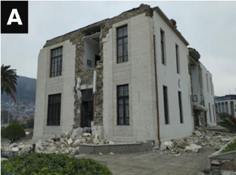
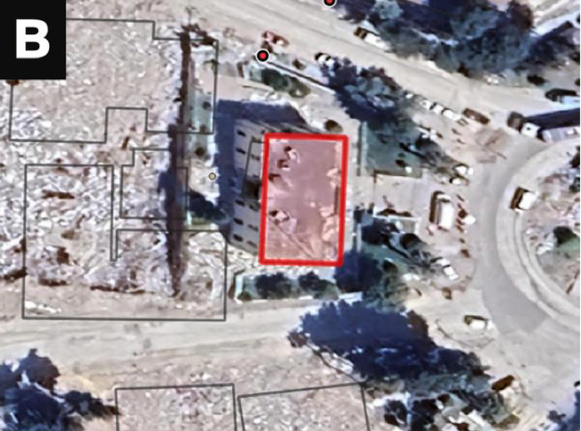
Brandon Voelker, working closely with his advisor, Pietro Milillo, Ph.D., Assistant Professor of Civil and Environmental Engineering at UH, led the Earthquake Engineering Field Investigation Team’s (EEFIT) mission remote sensing team. The research utilized Synthetic Aperture Radar (SAR) and high-resolution optical imaging to map the structural damage across the earthquake-impacted regions of southeastern Turkey, providing a rapid, large-scale view of the destruction.
The February 2023 earthquakes wreaked havoc, claiming thousands of lives and devastating infrastructure across the region. Voelker’s work underscores the crucial role of remote sensing in facilitating swift damage assessments – a vital component for directing emergency relief and planning recovery efforts.
By evaluating a range of damage mapping methodologies, the study sheds light on disparities in data accuracy, underscoring the importance of harmonized validation practices.
"Integrating satellite data with direct field observations is a game-changer for disaster response," Voelker said. "It enables teams on the ground to zero in on the most affected areas, ensuring their efforts are both efficient and effective."
In collaboration with an international consortium of researchers, the study harnessed satellite data from the European Space Agency and processed by the NASA’s Jet Propulsion Laboratory and the German Aerospace Center, among other sources. The team employed a hybrid approach, blending remote sensing insights with ground-based data to produce detailed, actionable damage maps. These maps proved invaluable for directing field surveyors to a variety of sites, capturing a nuanced picture of the region's resilience and structural challenges.
Milillo, who co-authored the study, highlighted the research's broader impact.
“Brandon’s contributions have established a new standard in the field of disaster damage assessment through remote sensing,” Milillo said. “This work paves the way for faster, more reliable disaster response efforts, potentially making a life-saving difference in future emergencies.”
This achievement represents a notable advancement for the University of Houston’s Geosensing Lab and its Civil and Environmental Engineering Department, further cementing their leadership in the field of remote sensing and disaster resilience research.
The study, conducted in collaboration with an international team of scientists, included partners from various prestigious institutions, such as Delft University of Technology, University College London, Bundeswehr University Munich, the German Aerospace Center (DLR), and the University of Cambridge, UK. This diverse expertise enriched the research, enabling a comprehensive analysis of earthquake damage through a multidisciplinary lens.
For further details on the research and access to the complete publication, visit this link.
About the University of Houston
The University of Houston stands as a premier research institution, offering an extensive range of undergraduate, graduate, and doctoral programs. As a beacon of innovation, UH drives forward-thinking research across diverse disciplines, from engineering to the arts. The University is dedicated to empowering its students and playing an integral role in the greater Houston community and beyond.


