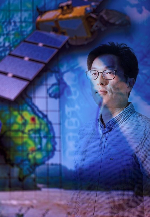

Dr. Hyongki Lee, an associate professor in the Department of Civil and Environmental Engineering at the Cullen College of Engineering, has been awarded a grant from the K-Water Institute of South Korea to study flood monitoring and management in that country, via the development of algorithms for satellite data.
The $93,000 grant is for the project titled “Application of C-band SAR Data for Flood Monitoring and Management.” Lee is the principal investigator for the project, which covers July 2019 to December 2021. Satellite observations can complement existing in-situ gauge network with additional spatio-temporal coverages, and is the only available option for poorly or ungauged basins.
The K-Water Institute was originally formed in 1988, reorganized from earlier efforts in 1974 and 1967. It oversees the construction, management and operation of water resources in South Korea. The goal of the organization is to provide safe, usable water to the people while protecting the environment and public interests.
According to Lee, the institute is one of the leaders when it comes to developing a C-band Synthetic Aperture Radar (SAR) satellite mission, which is funded by the Korean Ministry of Environment. The mission is planned for 2025 for the purpose of water resources management in Korea and the globe.
“My expertise is developing innovative applications of satellite remote sensing data for water resources management, and my role for this project is to develop and enhance applications of C-band SAR data for flood monitoring and forecasting,” Lee said. “We will use currently operating C-band SAR data available from the Sentinel-1 mission of European Space Agency [ESA] to demonstrate the applicability of future C-band SAR mission of South Korea.”
Lee outlined two primary objectives for the grant.
“Our first objective is to develop an algorithm of flood inundation forecasting using SAR images and other remote sensing data sets, including satellite radar altimetry, that provides surface water elevation,” he said. “Since the SAR sensor uses microwave bands, it can penetrate through clouds and obtain the image of the earth's surface beneath, which makes it valuable for mapping flooded areas while cloud cover exists which optical sensors cannot provide.”
He continued, “The second objective is to estimate stream flows in poorly gauged or non-gauged basins using satellite-observed river widths and water elevation changes. Conventional methods of river discharge estimation using satellite observations require a historic in-situ discharge data for training. In this project, we will use an approximate guesstimates of discharges that can be derived from a priori information as a basis with a machine learning technique to generate historic discharges over basins where little or no in-situ observations are available.”
Lee said the proposed products are expected to enhance flood risk reduction, and to improve water availability prediction.